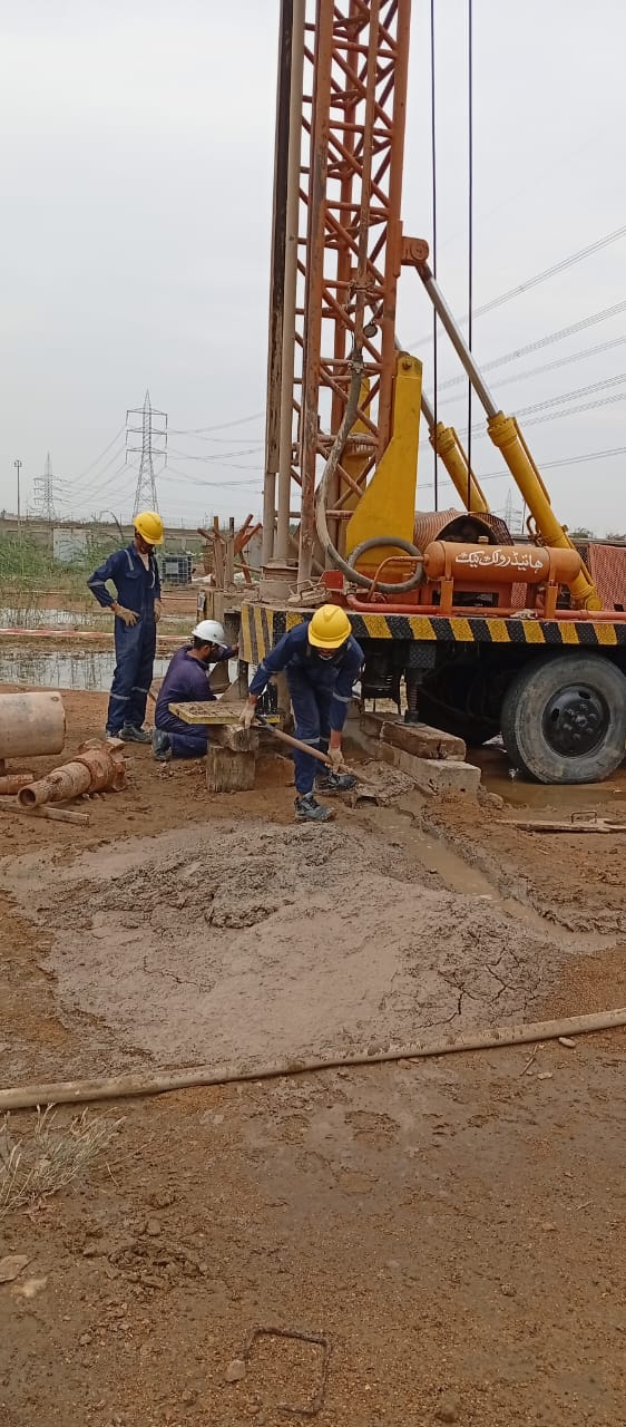
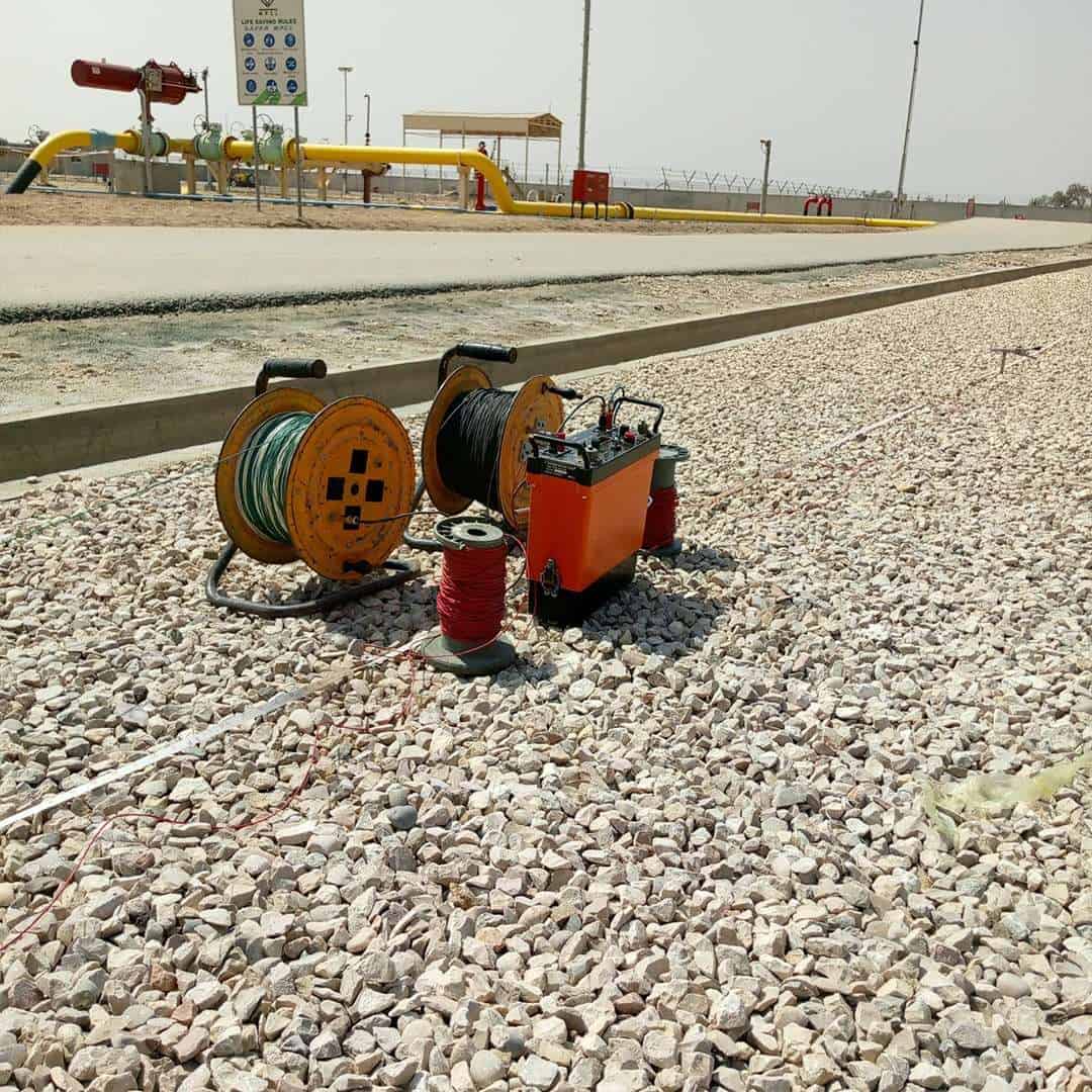
What You Receive with Every KTP Topographical Survey
- Full 3D AutoCAD Drawings: Layered DWG and DXF vector files capturing all spot levels, breaklines, and infrastructure boundaries.
- Precision Contour Mapping: High-resolution index and intermediate contour overlays at 0.5m, 1.0m, or client-specified intervals.
- Digital Terrain Model (DTM/DEM): Triangulated Irregular Network (TIN) surface models compatible with AutoCAD Civil 3D, ArcGIS, and LandXML.
- Cut and Fill Earthwork Analysis: Precise volumetric calculations comparing proposed formation grades against existing natural ground levels.
- Permanent Benchmark Setup: Cast-in-place concrete Temporary Benchmarks (TBM) tied to national Survey of Pakistan geodetic datum.
- Coordinate Master Spreadsheet: Comma-delimited ASCII CSV data tables detailing Point ID, Easting, Northing, Elevation (Z), and Feature Code.
- Comprehensive Engineering Survey Report: Georeferenced site photography, equipment calibration certificates, and surveyor endorsement.
The Bedrock of Flawless Architectural and Engineering Design
No major civil development can proceed safely or economically without an accurate baseline land survey. Relying on outdated land records, coarse satellite elevation models, or approximate handheld GPS measurements exposes developers to severe errors: encroaching on adjacent private property, underestimating costly earth excavation volumes, or constructing buildings below natural stormwater drainage flood lines.
At Karachi Tubewell & Pumps, our geomatics and surveying engineering division pairs decades of field expertise with top-tier optical and satellite measurement technology. We deploy robotic Total Stations with 1-second angular accuracy, multi-frequency RTK GNSS rovers tracking GPS, GLONASS, Galileo, and BeiDou satellite constellations, and digital bar-code levels for precision height looping. Whether mapping rugged 500-acre industrial plots, housing society subdivisions, canal alignments, or tight urban commercial infill lots, KTP guarantees spatial accuracy to within millimeters.
Technical Specifications & Survey Standards
Our surveyors operate strictly in compliance with international RICS, USACE, and Survey of Pakistan engineering survey standards:
| Survey Parameter | Field Technology & Hardware | Engineering Accuracy Standard |
|---|---|---|
| Optical Measurements | Digital & Robotic Total Stations (Leica / Topcon) | Angular: 1" to 2" | Distance: +/-(1mm + 1.5ppm) |
| Satellite Positioning | Multi-constellation dual-frequency RTK GNSS | Horizontal: 8mm + 1ppm | Vertical: 15mm + 1ppm |
| Leveling & Vertical Datum | Digital Auto-Levels with Invar Bar-Code Staffs | Height loop closure within +/- 1.0mm per km |
| Coordinate Reference Systems | UTM Projection (WGS84) / Pakistan National Grid | Transverse Mercator with local scale factor control |
| Contour Interval Range | 0.25m (detailed architectural) to 1.0m (regional) | Mathematically interpolated TIN surfaces |
| Feature Coding System | Standardized civil alphanumeric coding | Complete point, line, and polygon feature library |
| Deliverable Formats | AutoCAD DWG, DXF, LandXML, Shapefile, PDF, CSV | Universal CAD / GIS interoperability |
| Quality Assurance Audit | Independent ground-truth check shots | 95% of test points within 20mm horizontal/vertical |
Our 5-Step Topographical Survey Workflow
We execute topographical surveys using a disciplined, mathematically verifiable process:
Scoping & Geodetic Control
We evaluate your project boundary and site plans. Primary geodetic control stations and permanent benchmarks (TBM) are established and tied to national coordinates via static GNSS.
High-Density Acquisition
Field crews capture 3D coordinates using RTK GNSS rovers across open expanses and robotic Total Stations beneath tree canopies, building lines, and dense infrastructure.
Feature Coding & Details
Every spot level is attributed with standardized feature codes, capturing road edges, drainage culverts, electric utilities, manholes, boundary walls, and tree canopy perimeters.
3D Modeling & Adjustments
Raw field data is processed in AutoCAD Civil 3D. Traverse errors are closed through least-squares adjustments, creating Triangulated Irregular Networks (TIN) and smooth contour surfaces.
Quality Audit & Handover
Independent quality audits verify surface elevations. The final package, including layered DWG files, contour maps, cut/fill calculation sheets, and signed survey reports, is delivered.
Cost Factors & Pricing Considerations
Topographical survey pricing depends on plot dimensions, topographical complexity, and required engineering detail:
Large parcels (50 to 500+ acres) benefit from economy of scale with RTK GNSS rovers, lowering the cost per acre significantly.
Flat agricultural or desert land requires fewer setups, while steep ravines, hills, or rocky outcrops require dense spot elevation grids.
Dense forest canopy, standing water bodies, or active demolition sites require Total Station traverses, slowing field progression.
Undeveloped land mapping is streamlined, whereas mapping complex industrial plants with above and below-ground utility networks requires detailed tracing.
Verified Topographical Survey Reference
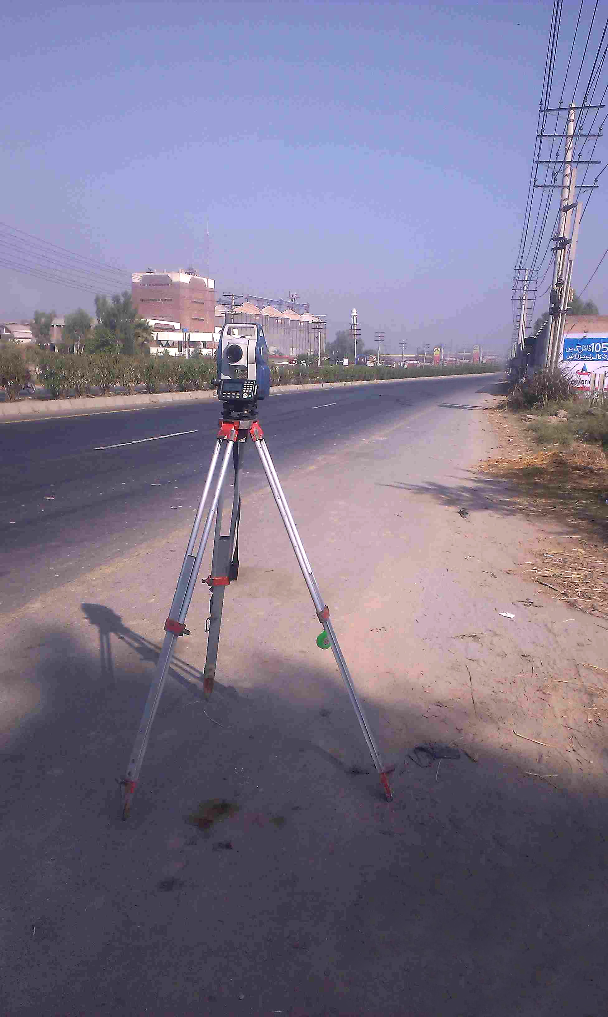
120-Acre Industrial Park Topographical Mapping & Earthwork Modeling
Scope: Dual-frequency RTK GNSS and robotic Total Station survey establishing 6 permanent benchmarks across 120 undulating acres
Engineering Result: Generated 0.5m contour DTM in AutoCAD Civil 3D, optimizing earthwork cut-and-fill to reduce site preparation haulage costs.
Frequently Asked Questions About Topographical Surveys
Essential guidance for architects, civil contractors, and infrastructure developers:
A topographical survey accurately identifies and maps the exact contours, elevations, natural ground features (trees, watercourses, rock outcrops), and man-made infrastructure (buildings, roads, drainage channels, utilities) of a site. Architects and civil engineers use these 3D CAD drawings to design building levels, stormwater drainage slopes, road profiles, and calculate earthwork cut-and-fill volumes before construction starts.
KTP deploys dual-frequency multi-constellation RTK GNSS receivers (GPS, GLONASS, Galileo, BeiDou) for rapid geodetic control and boundary positioning, high-precision robotic and digital Total Stations (with 1-second angular accuracy and millimeter electronic distance measurement), and digital auto-levels for geodetic height loop closure.
Survey drawings are referenced to the Universal Transverse Mercator (UTM WGS84) projection or localized project grids tied to Survey of Pakistan benchmarks. Final deliverables are provided in AutoCAD DWG, DXF, LandXML, PDF, and comma-delimited ASCII CSV point coordinate files (Point ID, Easting, Northing, Elevation, Description).
By generating a tight 3D digital terrain model (DTM), civil engineers can balance cut and fill volumes with mathematical precision. This avoids unnecessary excavation, minimizes hauling off-site soil, and ensures zero water-logging through gravity-assisted drainage slopes, saving significant civil contractor costs.
Field data collection typically takes 1 to 3 days depending on site vegetation, acreage, and terrain complexity. CAD drafting, contour generation, and quality check review are delivered within 48 to 72 hours following field completion.
Yes. Our surveyors overlay official revenue estate maps (Aks-Shajra) and master layout plans onto georeferenced GNSS field measurements. We install permanent concrete demarcation boundary pillars and provide certified demarcation certificates.